Posts by Richard Jones
December News

Congratulations to GRL Chairman Bob Holdsworth, nominated for the 2018 NERC Economic Impact Awards for his scientific work related to faults and fracture networks in the fractured basement of the West of Shetland basin and its onshore analogues in the Scottish Highlands and Islands. The work of Bob and the team has helped to inform…
Read MoreNovember News Update

Our instrumentation expert Max Wilkinson is currently deploying a suite of our GNSS units at key locations on Etna, as part of our latest low-cost monitoring project, carried out with Fabian Wadsworth and colleagues at Durham University, in collaboration with INGV. Although Etna is already one of the most closely monitored volcanoes in the World,…
Read MoreOctober News

Fractures and more fractures this month … more fracture measurements in the core store, more fractures studied in outcrop, more workshops delivered on fractured reservoirs, and then some more! … We’re really looking forward to the Geology of Fracture Reservoirs conference at the Geological Society, London next week. Our first presentation on Reducing uncertainty in…
Read MoreSeptember News Update

It’s geothermal energy … but with a difference! Exciting work by our colleagues Charlotte Adams, Jon Gluyas and co-workers in Earth Sciences at Durham University is exploring the geothermal potential of extracting heat from groundwater in abandoned mine workings. Following the onset of the industrial revolution, coal extraction in the NE of England was prolific,…
Read MoreSeptember News

A busy month ahead … we’re looking forward to lively discussion at the “Extractive Industry Geology” conference, where David will present some of our recent work in validation and calculation of spatial errors in photogrammetry (both terrestrial and UAV-based) and other geospatial methods (“An overview of geospatial methods for data acquisition and analysis: Useful insights…
Read MoreAugust News Update

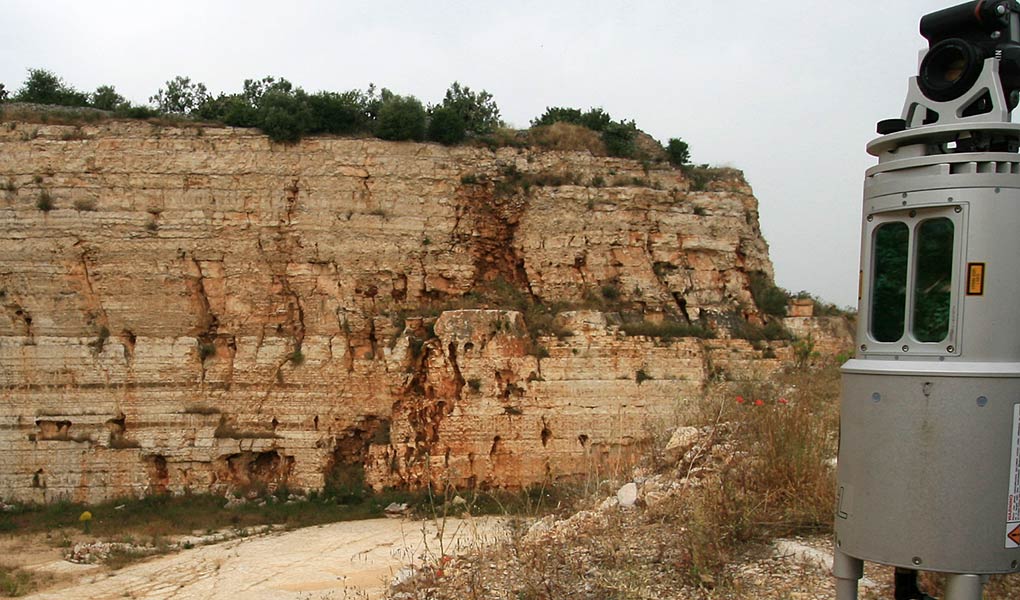
Nick Rosser in the Geography Department at Durham University has been a long-standing colleague since early 2004, when he kindly let us use his lidar scanner (a 1 Hz MDL instrument!) to start scanning outcrop geology. We’re currently working with Nick on a very interesting project to monitor coastal cliff erosion by repeatedly scanning a…
Read MoreJuly News Update

It’s great to have been a part of the “New Appraisal of the Western Approaches Basins” project, which was completed for the UK 31st Offshore Licensing Round. Having started work on this in mid-2016, it’s rewarding to see the comprehensive project material that is now available for download from the Oil and Gas Authority website.…
Read MoreJune News

Big Data from small sensors! We’ve just completed another successful ground monitoring campaign using our low-cost GNSS (GPS) units. The program, which provides post-earthquake monitoring of an urban area in the Mediterranean region, has now spanned many months of continuous, autonomous deployment – we have just re-visited all the sites after a gap of seven months…
Read MoreMay News

Virtual outcrop geology – another nail in the coffin for real fieldwork? Or is it actually an opportunity for office-bound geologists to benefit from more field experience from around the globe? We gained an interesting insight to this question at Finding Petroleum’s Opportunities in the Middle East event at The Geological Society last week. As usual,…
Read MoreApril News
A couple of interesting conference presentations recently … Firstly, our work using low-cost GNSS technology and lidar to monitor ground motion related to gas storage was part of a multi-faceted project with Humbly Grove Energy, Geoenergy Durham, Geomatic Ventures Ltd, and Durham University, and was presented by Jon Gluyas at the UK Energy Storage 2018…
Read More